Geospatial Intelligence & Spatial Analytics
Turning Spatial Data Into Decisions
That Shape the Future
TAS delivers geospatial solutions that transform raw spatial data into actionable intelligence. By combining GIS, Photogrammetry, and LIDAR, we help organizations plan smarter cities, design resilient infrastructure, and prepare for the next generation of energy and mobility networks.


What We Do
What We Do
End-to-End Geospatial Services
We harness advanced geospatial technologies to capture, process, and interpret spatial data - enabling informed decision-making across urban development, infrastructure planning, and environmental analysis.
geo
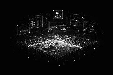
Geographic Information Systems (GIS)
Integrated spatial data platforms that visualize, analyze, and manage geographic information for infrastucture development, asset planning, and operational decision-making.
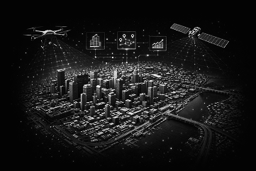
Photogrammetry
Advanced 3D models generated from aerial and satellite imagery to support urban growth, smart city planning, and regional development initiatives.
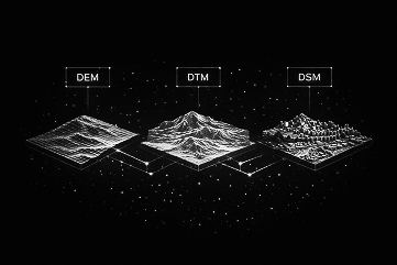
LIDAR Solutions
High-resolution terrain and elevation models, including DEM, DTM, and DSM, enabling precise engineering, environmental analysis, and large-scale planning.
Future -Focused Geospatial Innovation
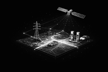
Expanding geospatial intelligence into electrical asset management and EV infrastructure planning - supporting smarter, more resilient energy networks.
Photogrammetry
Advanced 3D models generated from aerial and satellite imagery to support urban growth, smart city planning, and regional development initiatives.
LIDAR Solutions
High-resolution terrain and elevation models, including DEM, DTM, and DSM, enabling precise engineering, environmental analysis, and large-scale planning.
We harness advanced geospatial technologies to capture, process, and interpret spatial data - enabling informed decision-making across urban development, infrastructure planning, and environmental analysis.
Future -Focused Geospatial Innovation
Expanding geospatial intelligence into electrical asset management and EV infrastructure planning - supporting smarter, more resilient energy networks.
Geographic Information Systems (GIS)
Integrated spatial data platforms that visualize, analyze, and manage geographic information for infrastucture development, asset planning, and operational decision-making.
Photogrammetry
Advanced 3D models generated from aerial and satellite imagery to support urban growth, smart city planning, and regional development initiatives.
LIDAR Solutions
High-resolution terrain and elevation models, including DEM, DTM, and DSM, enabling precise engineering, environmental analysis, and large-scale planning.
Future -Focused Geospatial Innovation
Expanding geospatial intelligence into electrical asset management and EV infrastructure planning - supporting smarter, more resilient energy networks.
Our Approach
See Our Geospatial Capabilities In Action
Our GIS services support a wide spectrum of planning, engineering, and infrastructure initiatives. From terrain analysis to network planning, we apply geospatial intelligence where location, scale, and accuracy directly influence outcomes.


- Terrain & elevation modelling (DEM/DTM/DSM)
- Urban & regional spatial planning lifelines
- Infrastructure & corridor mapping systems
- Land use & environmental analysis walkways
- Asset & network visualization
- Aerial & satellite image processing
- Geospatial data integration & visualization
- Planning support for energy & mobility networks
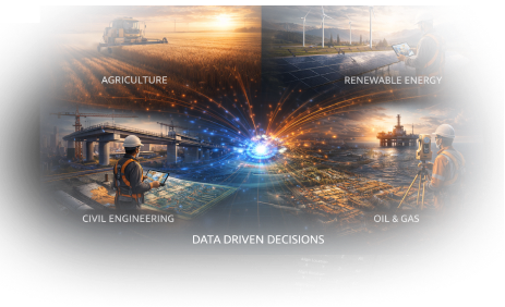
Industries
How We Add Value
From Data Collection to Decision Confidence
Our geospatial services go beyond data processing. We focus on accuracy , usability, and long-term value - ensuringspatial intelligence supports real world planning and execution.
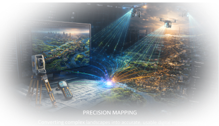
Precision
Mapping
Global
Perspective
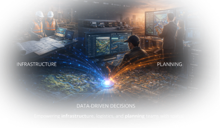
Data-Driven
Decisions
Converting complex landscapes into accurate, usable digital representations.
Applying geospatial expertise across diverse terrains, regions, and industries.
Empowering infrastructure, logistics, and planning teams with spatial insight they
can
act on.
Precision Mapping
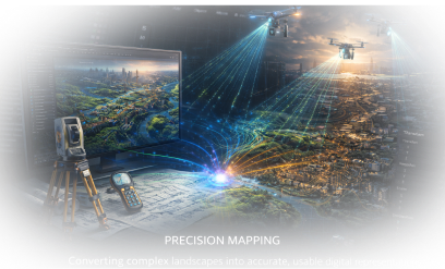
Converting complex landscapes into accurate, usable digital representations.
Data-Driven Decisions
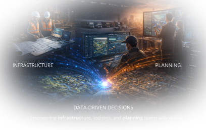
Empowering infrastructure, logistics, and planning teams with spatial insight they can act on.
Global Perspective
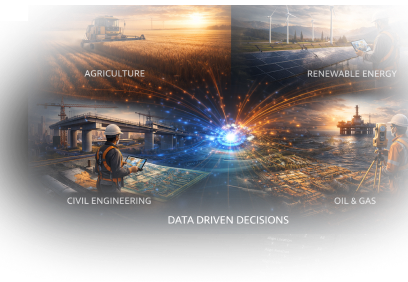
Applying geospatial expertise across diverse terrains, regions, and industries.
Frequently Asked Questions
Frequently Asked Questions
Most Asked Questions
Clear answers to common questions from infrastructure and mapping teams.

Ready to Turn Spatial Data into
Actionable Insight?
Whether you're planning cities, designing infrastructure, or preparing for the future of energy and mobility, our geospatial solutions help you see clearly, plan confidently, and act decisively.